

0.0 / 5
How satisfied were you with the behaviour and cooperation of the staff?
A Panchayat is a group of elected representatives responsible for carrying out the administrative functions of the Panchayat Raj institutions. In the case of a Grama Panchayat, it is the main governing body that implements the decisions of the Gram Sabha and manages the day-to-day administration of the Panchayat.The main components of a Panchayat are:President: The head of the Panchayat. The President presides over the meetings and supervises the overall functioning of the Panchayat.Vice President: The Vice President performs the duties of the President in the absence of the President.Ward Members: These are elected representatives chosen from each ward of the Panchayat. They represent the interests and needs of the people in their respective wards.Standing Committees: These are...

President

Vice President & Chairman Standing Committee for finance

Chairman, Standing Committee for development

Chairman,Standing Committee for Welfare
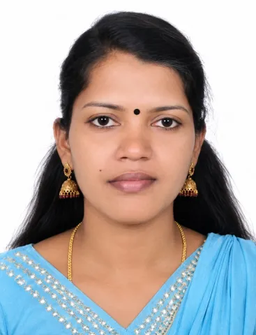
Chairman,Standing Committee for Health and Education
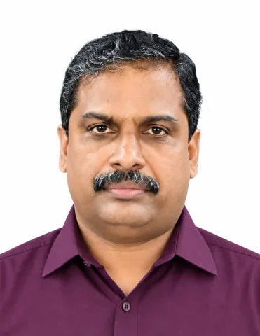
Secretary, Grama Panchayat


Download Now



Kunnathoor Grama Panchayat (English: Kunnathoor Grama Panchayat) is a Grama Panchayat located in Kunnathoor Taluk and Sasthamcotta Block of Kollam district, Kerala. It is situated about 12 kilometres north-west of Kottarakkara. The name Kunnathoor is believed to have originated from the geographical features of the region, which was once rich in hills. During the period of royal rule, the area comprising Kunnathoor was under the jurisdiction of the King of Kayamkulam. The eastern boundary of Kunnathoor is marked by the Kallada River, and the remains of an old fort can still be seen in this area. The region near the Kokkām Kāvu Temple, where the Kallada River flows eastward, was under the control of the King of Travancore.
Read More